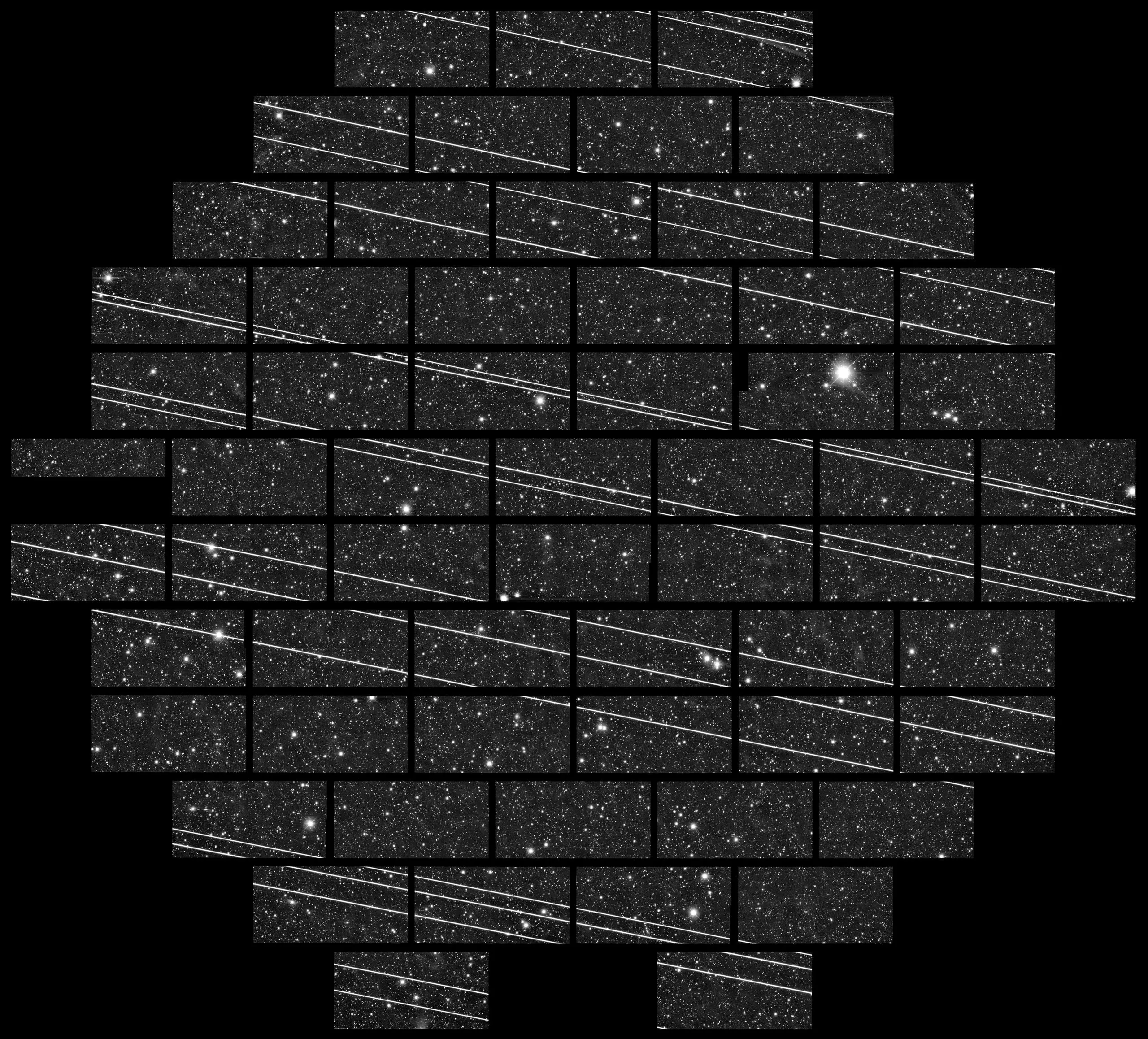

Satellite trails are now part of almost every wide-field image of the night sky. For our members they are mostly a nuisance: a bright line across a long exposure that has to be removed before stacking or measuring. For a pipeline that classifies everything it sees, they are also a common source of false detections.
Today we are releasing trailmask v0.1, a small segmentation model that marks the pixels belonging to a trail. It is designed for amateur wide-field images and runs on an ordinary laptop processor.
In our tests on images it had not seen during training, trailmask found 94 percent of trails, and 91 percent of what it flagged were real trails. Most of its mistakes were meteors, aircraft lights and long diffraction spikes from bright stars. We describe the training data, the model and these results in ASRU-TN-2026-002.
The code is released under the MIT license and the trained weights under CC BY 4.0. trailmask is already part of the member image pipeline.
This is version 0.1 for a reason. If you try it on your own images, we would like to hear where it fails: write to research@asru.org.